GIS & Geospatial Consulting · Durbanville, Cape Town
Turning spatial data into decisions you can defend.
Inventree (Pty) Ltd is a geospatial (GIS) consulting company based in Durbanville, Cape Town, South Africa, providing GIS data collection, drone (RPAS) survey, remote sensing, spatial and statistical analysis, environmental and conservation mapping, and systems integration services for the conservation, agriculture, mining, utilities and telecommunications sectors.
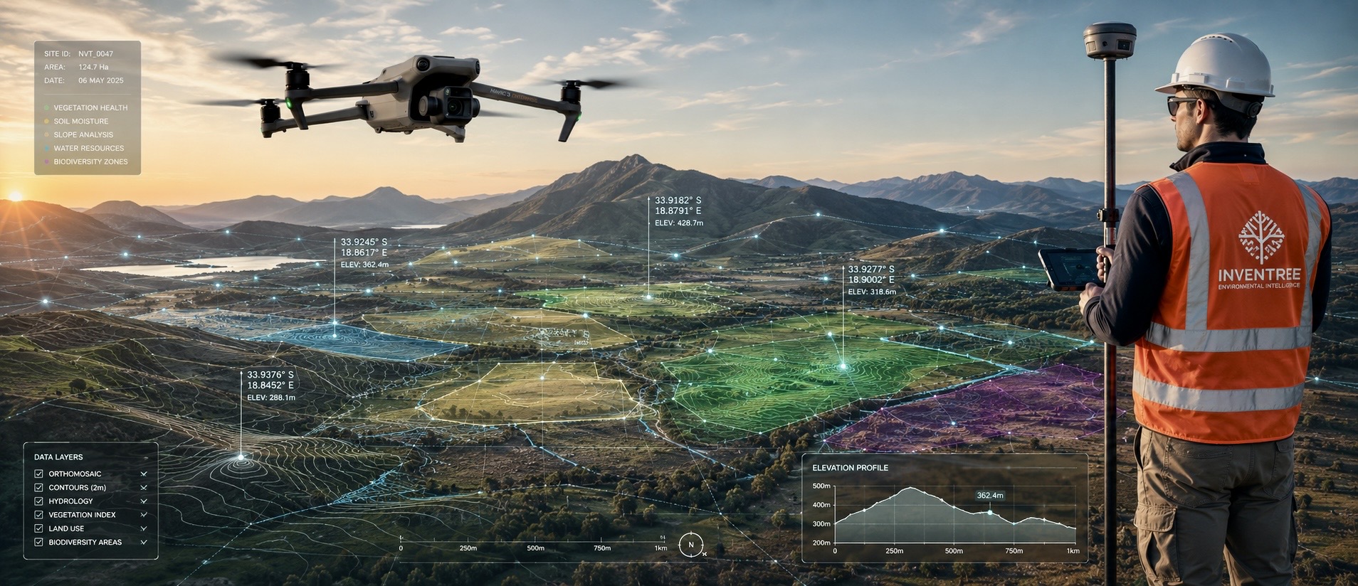
Image needed
A strong, wide landscape/action shot representing the work — e.g. a drone mid-flight over a field/site, a team member surveying with GPS equipment, or an aerial/orthomosaic output. This is the first image most visitors and link-preview cards will see.
/images/hero-home.jpg
What we do
End-to-end geospatial services
From field data collection through to systems integration — one team, one point of contact.
GIS Data Collection
Accurate field data capture using GPS, mobile mapping and structured survey workflows.
Learn moreDrone (RPAS) Survey
SACAA-licensed drone survey for aerial mapping, orthomosaics and volumetric analysis.
Learn moreRemote Sensing
Satellite and aerial imagery analysis for land cover, vegetation health and change detection.
Learn moreSpatial & Statistical Analysis
Spatial statistics, hotspot and cluster analysis, and predictive modelling on your data.
Learn moreEnvironmental & Conservation Mapping
Habitat mapping, biodiversity monitoring and land-use tracking for conservation projects.
Learn moreSystems Integration
Integrating GIS data into your existing management systems, dashboards and web GIS portals.
Learn moreWho we work with
Built for sectors that live on spatial data
Image needed
Conservation site, reserve or habitat photo — ideally a real project location.
/images/industry-conservation.jpg

Conservation
Habitat mapping, biodiversity monitoring and land-use tracking to support conservation organisations, landowners and environmental consultants.
Image needed
Farmland/crop field, ideally an aerial or drone shot showing field boundaries.
/images/industry-agriculture.jpg

Agriculture
Crop and vegetation monitoring, field mapping and yield-relevant spatial analysis for farms and agricultural businesses.
Image needed
Mine or quarry site, ideally an aerial/drone shot showing a stockpile or pit.
/images/industry-mining.jpg

Mining
Volumetric survey, site mapping and rehabilitation monitoring for mining and quarrying operations.
Image needed
Infrastructure asset photo — e.g. water/electricity network equipment, substation, reservoir, or pipeline.
/images/industry-utilities.jpg

Utilities
Asset mapping and systems integration for water, electricity and other infrastructure networks.
Image needed
Telecoms infrastructure photo — e.g. a tower/mast, base station, or network equipment site.
/images/industry-telecommunications.jpg

Telecommunications
Network and infrastructure mapping, coverage-relevant spatial analysis and asset data integration.
Our approach
Data you can act on, not just look at
Inventree is led by Matthew Kleinenberg, a GIS professional with over 15 years of consulting and project-leadership experience. Every project runs through the same discipline: collect accurate data, analyse it properly, and deliver it in a form your team can actually use — whether that's a map, a report, or a live dashboard.
Quick answers
What is GIS consulting, and why would my organisation need it?
GIS (Geographic Information System) consulting involves collecting, analysing and visualising data tied to a physical location. It helps organisations understand spatial patterns, track assets, monitor change over time, and make decisions based on where things are and how they relate to each other — rather than relying on spreadsheets or memory alone.
Where is Inventree based, and which areas do you service?
Inventree is based in Durbanville, Cape Town, South Africa. We primarily service Cape Town and the Western Cape, and take on project-based work across South Africa depending on scope.
Do you hold drone (RPAS) licensing for aerial survey work?
Yes. Inventree holds RPAS licensing and operates drone survey work in accordance with South African Civil Aviation Authority (SACAA) regulations.
Have a site, dataset or system that needs GIS expertise?
Tell us what you're working with and what you need — we'll follow up with a clear scope and timeline.